£25
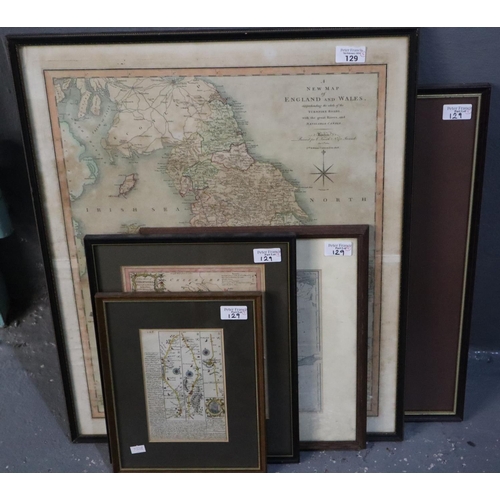
C Smith, 'A New Map of England and Wales, comprehending the whole of the Turnpike roads with the great rivers and navigable canals'. Originally printed 1804 second edition corrected to 1808 (58x47cm approx), together with Thomas Kitchen, a 'New Map of Shropshire'(25.5x20.5cm approx). And a strip road map of Ludlow and Shrewsbury in the Deanery of Chester pages 145 and 146 double sided (19x12cm approx). Together with Thomas Kitchen, 'Africa', original uncoloured map engraved by G Terry for John Harrison, dated 1787. 34x39cm approx. Framed. Together with a 19th century map of Sweden and Norway engraved by S Hall. 25x19cm approx. Framed and glazed. (5) (B.P. 21% + VAT)
Fees apply to the hammer price:
Room and Absentee Bids:
25.20% inc VAT*
Online and Autobids:
27.6% inc VAT*